Investigating an enigmatic coastal fortification
Port Castle occupies a shoulder of coastal shelf overlooking Port Castle bay at Physgill bay, near St Ninian’s Cave. Substantial stone walls, still visible now, indicate that the site was used in the historic period, but no more is known and it is not clear whether a ‘castle’ ever stood at this location. In the earliest accurate maps of the area, such as on Ainslie’s map of 1752, the site is marked as ‘in ruins’. Later surveyors were unconvinced that the site represented a castle at all, dismissing it as an enclosure of relatively recent date, and as a result Port Castle received little further attention.
Before starting our excavations in 2025, we thought it possible that the site had its origins in the Iron Age as a promontory fort, similar to the many others found around the Machars coastline and some of which (like Castle Feather and Cruggleton) were used into the medieval centuries. Our exploration aimed to learn more about the enclosing wall, and to establish whether the site was defended by a ditch in the manner of these early fortifications.
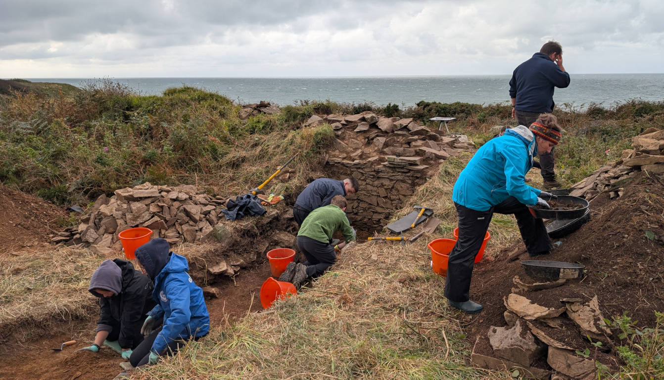
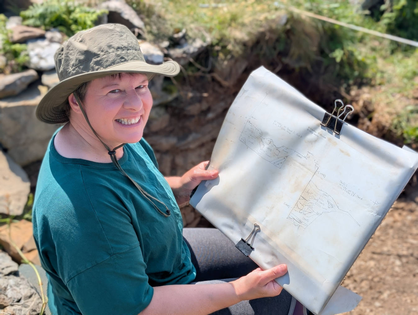
Our excavations
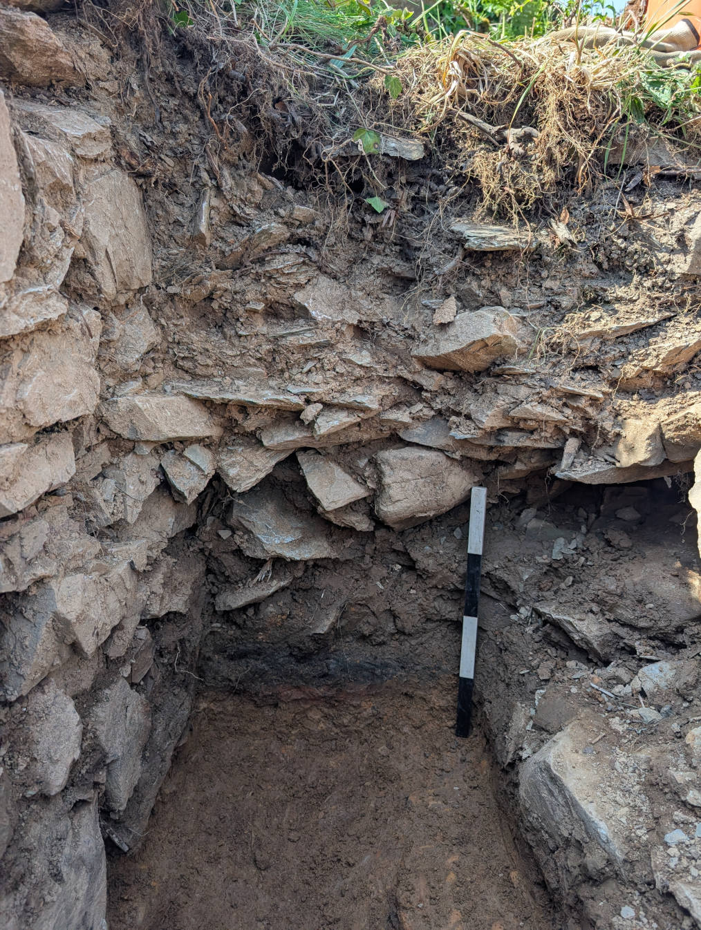
As it turned out, no evidence for the ditch was found, so the site does not seem to have begun as a promontory fort, as these are invariably defended by ditches. The wall is substantial, still standing to over 1.5m in height and 1.8m in thickness, but perhaps not as substantial as we might expect the walls of a castle keep to be. The construction is dry stone with a rubble and clay core, without evidence for the use of mortar, which again might be expected in the remains of a castle wall. At the base of the wall, a dark soil containing flecks of charcoal probably relates to a period of use of the site: a radiocarbon date from one of these charcoal fragments returned a date in the 15th century AD.
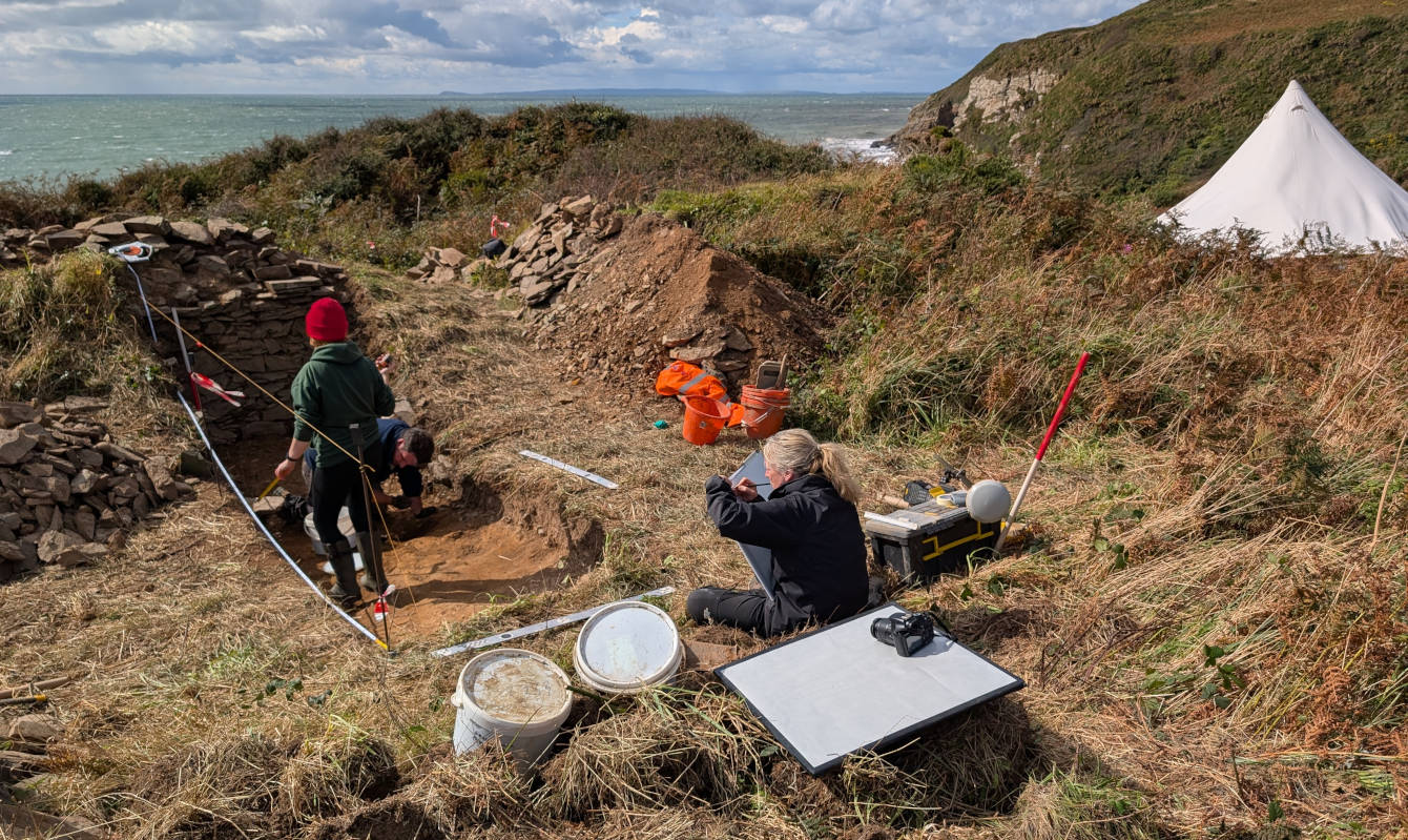
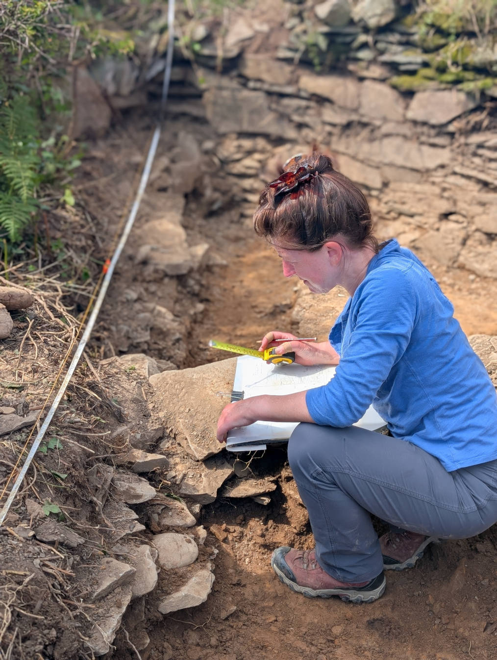
Our second phase of excavation, in 2026, explored more of the interior of the enclosure. This exposed more of the enclosure wall, which curves to fit the shape of the cliff promontory, as well as the basal levels of the bisecting internal wall. This internal wall stands to over 1m in height and was built on the same ground surface as the outer wall, suggesting that it belongs to a similarly early phase of activity. Close to the base of this wall, a soil rich in charcoal and ash debris, undoubtedly related to occupation of the site, was sampled, and further radiocarbon dates may help us to refine the date of this activity.
Artefacts were few in number, but included some large fragments of a ceramic vessel from the upper levels of the collapse debris, probably indicating late activity on the site. A small fragment of iron was also found at a similar level.
Interpreting Port Castle
The site remains enigmatic! We know that Physgill was in the possession of the McDowalls prior to 1626, when the land came under the ownership of the Stewarts, and Reid has suggested that the precursor of the present Physgill house was a towerhouse-like structure, of which nothing now remains and there is no evidence of an earlier building at the location.
If this is correct, it is possible that Port castle was the precursor stronghold to Physgill house, but this does not narrow down its original construction date. The enclosure wall does not resemble prehistoric architecture in Galloway, but the relatively modest proportions and lack of mortar in its construction would suggest it does not represent a medieval castle wall either.
Earlier medieval phases of the multi-period fortification at Cruggleton Castle- which was used repeatedly from the Iron Age through to the later medieval centuries- comprised combinations of stone walling and timber buildings, and it is possible that Port Castle had a similar design.
Further analysis will be carried out on our samples from the 2026 excavations, which will hopefully help to narrow down the history of this intriguing site.
Supported by: